Guide · 5 min read
How to Read a Tide Chart (Without a Decoder Ring)
Highs, lows, MLLW, tide height vs. tide movement — a five-minute course that turns the squiggly line into a fishing plan.
A tide chart is just a graph of predicted water height over time. The horizontal axis is the clock; the vertical axis is feet of water above a reference level. The wave-shaped line tells you when the ocean at that exact station will be high, low, rising, or falling. Everything else — the numbers, the abbreviations, the datum jargon — is detail on top of that simple picture.
What the numbers mean
Tide heights in the United States are quoted in feet relative to MLLW — Mean Lower Low Water — the long-term average of each day's lowest tide. A '+5.8 ft high' means the water will stand 5.8 feet above that average lowest level. Negative numbers happen too: a '−1.2 ft' low is a minus tide, water lower than an average low, which exposes rocks, reefs, and clam beds that are normally submerged. Minus tides are prized for tidepooling and bait gathering, and the huge swing that follows them moves serious water.
Times on NOAA-based charts (including USTideCharts) are given in the station's local time, already adjusted for daylight saving. Every prediction is for a specific station — a harbor entrance, a pier — and the timing can shift by 30–60 minutes just a few miles up a bay, so pick the station closest to where you'll actually stand.
Height is not movement
The most common beginner mistake is fixating on the peaks and valleys. Fish do not bite because the water is high; they bite because the water is moving. On the graph, movement is the slope of the line: the steep sections between a high and a low are when current runs hardest, and the flat crests and troughs are slack water. The steepest point — and usually the best fishing — comes roughly halfway between a high and a low.
That's why an interactive chart earns its keep. Hover along the USTideCharts graph and you'll see both the height and whether the tide is rising or falling at that minute — the two facts that actually build a game plan.
A 60-second planning routine
First, find today's swings: two highs and two lows, unequal in size. Second, circle the mid-tide hours on each side of the biggest swing — that's your moving water. Third, check whether either window overlaps dawn or dusk; if it does, that's the trip. Fourth, glance at the low-tide height: a minus low means exposed structure at low water and a fast, fishy flood behind it.
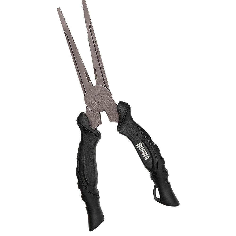
If your best window lands before sunrise — and the good ones often do — plan for the dark as well as the tide. A hands-free light matters more than most people expect, and a good pair of saltwater pliers earns its keep when you're unhooking a fish by feel. The pliers are in the cards below.