Pea Patch Island Tide Charts & Fishing
Friday, November 13 · NOAA station 8551702 (Pea Patch Island, Bulkhead Shoal Channel, Del.)
Tides live · forecast as of 3:33 AM ET
Tide chart and current conditions
Tide now
3.7 ft
▼ Falling · 1.0 ft/hr
Next high
1:24 PM
5.9 ft · in 9h 50m
Next low
7:28 AM
0.6 ft · in 3h 54m
Wind
11 mph NNW
Moderate breeze · gusts 17
Fishing score
66 /100
Very Good
drag to pan · scroll or pinch to zoom · hover for detail
| Day | Tide | Time | Height |
|---|---|---|---|
| Fri, Nov 13 | High | 1:18 AM | 5.0 ft |
| Fri, Nov 13 | Low | 7:28 AM | 0.6 ft |
| Fri, Nov 13 | High | 1:24 PM | 5.9 ft |
| Fri, Nov 13 | Low | 8:27 PM | 0.6 ft |
| Sat, Nov 14 | High | 2:01 AM | 4.9 ft |
| Sat, Nov 14 | Low | 8:06 AM | 0.6 ft |
| Sat, Nov 14 | High | 2:04 PM | 5.8 ft |
| Sat, Nov 14 | Low | 9:09 PM | 0.6 ft |
Today's Tide Times in Pea Patch Island
Today in Pea Patch Island, high tide arrives at 1:18 AM (5.0 ft) and again at 1:24 PM (5.9 ft), and low tide bottoms out at 7:28 AM (0.6 ft) and again at 8:27 PM (0.6 ft). That's a 5.3-foot swing — big, fast-moving water that concentrates feeding fish.
The sun rises at 6:44 AM and sets at 4:48 PM, under a waxing crescent (13% illuminated). Tidal range is in the middle of its two-week cycle.
Tomorrow starts with a high tide at 2:01 AM (4.9 ft) — see the 7-day outlook below to plan the week.
Fishing Score · Now
70/ 100
Best windows today
- 9:30 AM – 11:30 AMExcellent
- 4:00 PM – 6:00 PMExcellent
strong outgoing tide · dusk bite window
Sun & Moon
- Sunrise
- 6:44 AM
- Sunset
- 4:48 PM
Waxing Crescent
13% illuminated
Moderate tidal range this week.
Conditions
48°F
Drizzle
- Wind
- 11 mph NNWgusts 17
- Waves
- 0.8 ft @ 2s
- Water temp
- 59°F
Moderate breeze — A little chop — very fishable
7-Day Fishing Outlook
Today
52° / 39°
Excellent
Best: 9:30 AM–11:30 AM
Sat, Nov 14
45° / 33°
Excellent
Best: 4:30 AM–6:30 AM
Sun, Nov 15
49° / 39°
Excellent
Best: 5:30 AM–7:30 AM
Mon, Nov 16
52° / 38°
Excellent
Best: 5:30 AM–7:30 AM
Tue, Nov 17
56° / 37°
Excellent
Best: 6:00 AM–8:00 AM
Wed, Nov 18
58° / 38°
Excellent
Best: 7:00 AM–9:00 AM
Thu, Nov 19
60° / 40°
Excellent
Best: 7:30 AM–9:30 AM
7-Day Tide Table for Pea Patch Island
High and low tide times and heights for the next seven days, with sunrise (↑) and sunset (↓). Heights are relative to MLLW. NOAA predictions for station 8551702; local time.
| Day | Tides | Sun |
|---|---|---|
| TodayFri, Nov 13 |
| ↑ 6:44 AM↓ 4:48 PM |
| TomorrowSat, Nov 14 |
| ↑ 6:45 AM↓ 4:47 PM |
| Sun, Nov 15 |
| ↑ 6:46 AM↓ 4:46 PM |
| Mon, Nov 16 |
| ↑ 6:47 AM↓ 4:46 PM |
| Tue, Nov 17 |
| ↑ 6:48 AM↓ 4:45 PM |
| Wed, Nov 18 |
| ↑ 6:50 AM↓ 4:44 PM |
| Thu, Nov 19 |
| ↑ 6:51 AM↓ 4:44 PM |
What's Biting at Pea Patch Island
Activity ratings reflect typical feeding seasons — not legal seasons. Regulations, closures, and size/bag limits change; always check current DNREC fishing regulations before keeping any fish.
Striped Bass (Atlantic)
Morone saxatilis
Season: Spring and fall migrations; summer in New England (check regs)
Baits: Live or chunk bunker (menhaden), Clams, Live eels
Stripers feed where moving water pushes bait against structure: inlet mouths, jetty tips, bridge shadows, rips and points. Fish the stronger part of the tide, and dawn, dusk and night, especially in summer. Chunks or clams on the bottom from the beach, eels or swimbaits at night along rocks. Circle hooks on bait; release fish carefully, most of the catch goes back.
Bluefish
Pomatomus saltatrix
Season: Spring and fall runs along the beach; summer offshore
Baits: Cut menhaden, Metal spoons and jigs, Topwater plugs
When blues are blitzing bait in the surf you will see birds working and bait spraying; throw a metal or a popper into it. Wire or heavy mono leader, because they bite through everything else and through each other. Bleed and ice them immediately if you plan to eat them.
Weakfish (Gray Trout)
Cynoscion regalis
Season: Spring and fall; numbers are low in most years (check regs)
Baits: Soft-plastic shad on a jig head, Peeler crab, Squid strips
Fish bays, inlets and channel edges, dusk and night especially, with a jig or bait worked slowly near the bottom. Weakfish get their name from a soft mouth, so a light drag and a net help.
Summer Flounder (Fluke)
Paralichthys dentatus
Season: Late spring through early fall (check regs)
Baits: Squid strips, Live killifish (minnows), Gulp! swimming mullet
Drift or slowly retrieve a bait along sandy and gravel bottom near channel edges, inlets and drop-offs. Moving water is everything: fluke face into the current and ambush bait, so a slack tide usually means a slow bite. Bounce the bottom and give a second before setting the hook.
Atlantic Croaker
Micropogonias undulatus
Season: Late spring through summer
Baits: Bloodworms, Squid, Shrimp
A bottom fish that runs in schools over sand and mud, especially in the Chesapeake and its rivers. Two-hook bottom rig, small hooks, bait on the bottom. Evenings and the hours around a tide change are usually best from piers and shorelines.
Gear for These Conditions
TheAnglerStore →Matched to the species feeding at Pea Patch Island right now.

Surf Rods
Daiwa FT Surf Spinning Rod — 10', 2-Piece Medium
Ten feet is the length most surfcasters land on: enough to clear the first break and keep a bait out past it, still short enough to cast all day without your…
$34.99Shop at TheAnglerStore →
Line & Leader
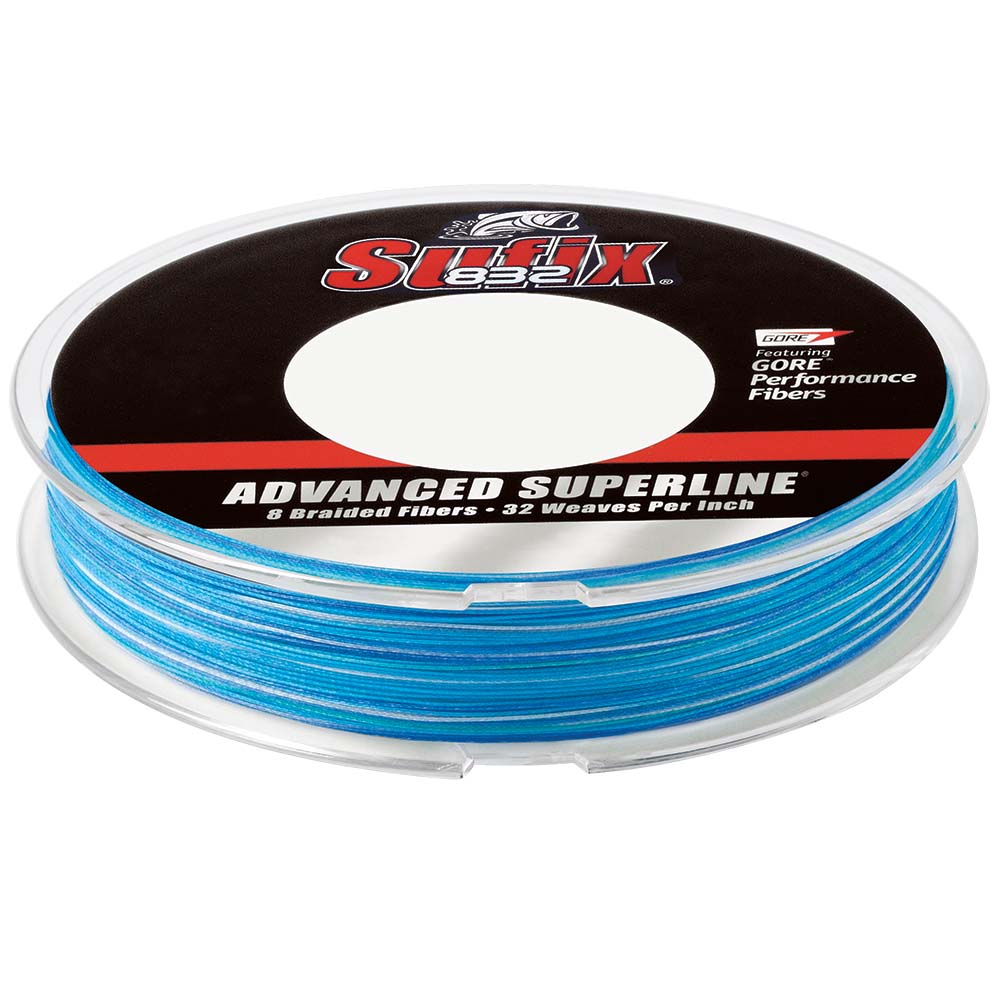
Sufix 832 Advanced Superline Braid — 20 lb, 300 yd
Seven HMPE fibers plus one GORE Performance Fiber, braided at 32 picks per inch. The GORE fiber is what makes this line quiet through the guides and stubborn…
$34.99Shop at TheAnglerStore →

Terminal Tackle
Eagle Claw Lazer Sharp Offset Circle Sea Hook — 4/0, 50-Pack
The circle hook does the work for you: no strike, just let the rod load and the hook finds the corner of the jaw on its own.
$15.97Shop at TheAnglerStore →
Line & Leader
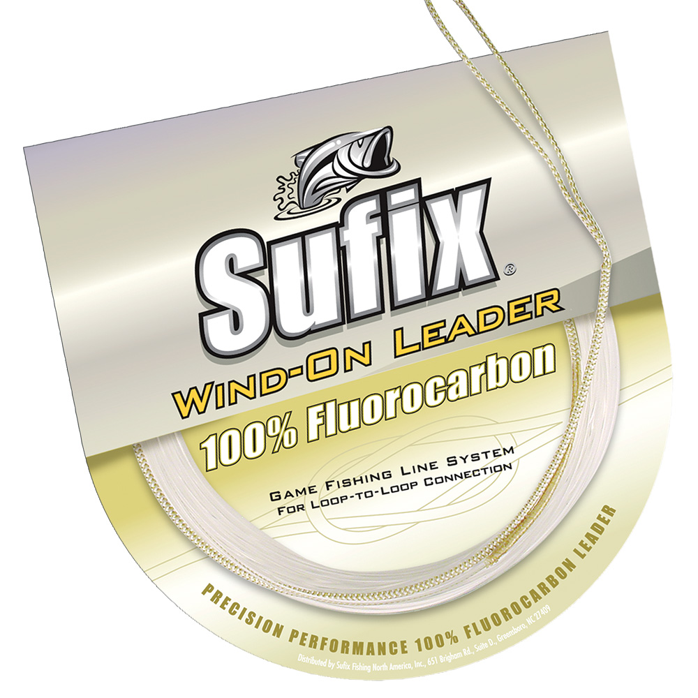
Sufix Wind-On Fluorocarbon Leader — 50 lb, 11 yd
A braided loop on one end means you connect to your main line without a knot or a swivel, and the leader winds straight through the guides onto the reel.
$15.49Shop at TheAnglerStore →
Pea Patch Island Tide & Fishing FAQ
›What time is high tide in Pea Patch Island today?
High tide in Pea Patch Island today is at 1:18 AM (5.0 ft) and again at 1:24 PM (5.9 ft), measured at NOAA station 8551702 (Pea Patch Island, Bulkhead Shoal Channel, Del.).
›What time is low tide in Pea Patch Island today?
Low tide in Pea Patch Island today is at 7:28 AM (0.6 ft) and again at 8:27 PM (0.6 ft).
›When is the best time to fish in Pea Patch Island today?
Today's best fishing window at Pea Patch Island is 4:00 PM–6:00 PM (rated Excellent, 89/100), driven by strong outgoing tide, dusk bite window. The score blends tide movement, dawn/dusk light, moon phase, wind, and water temperature.
›What fish are biting in Pea Patch Island in November?
In November, the most active species at Pea Patch Island are Striped Bass (Atlantic), Bluefish. See the species section above for baits, techniques, and seasons.
›Is this the tide chart for New Castle?
Yes — Pea Patch Island (NOAA station 8551702) is the closest official tide prediction station to New Castle, Delaware, so these are the tide times anglers and boaters in New Castle plan around.
›How accurate is this Pea Patch Island tide chart?
Predictions come directly from NOAA CO-OPS harmonic predictions for station 8551702 (Pea Patch Island, Bulkhead Shoal Channel, Del.) and are the same data used in official tide tables. Actual water levels can vary with storms and barometric pressure, so treat predictions as planning guidance, not navigation data.
About Pea Patch Island
This is the live tide dashboard for Pea Patch Island, built on NOAA station 8551702 (Pea Patch Island, Bulkhead Shoal Channel, Del.) on the delaware-bay. Tide predictions update continuously, and the fishing score blends the tide swing with weather, light, and moon phase to point you at the best windows of the day. Pea Patch Island is the closest NOAA tide station to New Castle, Delaware — if you fish, paddle, or boat out of New Castle, these are the tide predictions to plan around.