La Push Tide Charts & Fishing
Friday, November 13 · NOAA station 9442388 (James Island)
Tides live · forecast as of 6:49 AM PT
Tide chart and current conditions
Tide now
4.6 ft
▼ Falling · 0.5 ft/hr
Next high
1:51 PM
8.0 ft · in 7h 1m
Next low
8:09 AM
4.3 ft · in 1h 19m
Wind
16 mph SSE
Fresh breeze · gusts 40
Fishing score
72 /100
Very Good
drag to pan · scroll or pinch to zoom · hover for detail
| Day | Tide | Time | Height |
|---|---|---|---|
| Fri, Nov 13 | High | 3:04 AM | 6.7 ft |
| Fri, Nov 13 | Low | 8:09 AM | 4.3 ft |
| Fri, Nov 13 | High | 1:51 PM | 8.0 ft |
| Fri, Nov 13 | Low | 9:00 PM | 0.3 ft |
| Sat, Nov 14 | High | 3:49 AM | 6.5 ft |
| Sat, Nov 14 | Low | 8:53 AM | 4.5 ft |
| Sat, Nov 14 | High | 2:32 PM | 7.6 ft |
| Sat, Nov 14 | Low | 9:44 PM | 0.7 ft |
Today's Tide Times in La Push
Today in La Push, high tide arrives at 3:04 AM (6.7 ft) and again at 1:51 PM (8.0 ft), and low tide bottoms out at 8:09 AM (4.3 ft) and again at 9:00 PM (0.3 ft). That's a 7.8-foot swing — big, fast-moving water that concentrates feeding fish.
The sun rises at 7:22 AM and sets at 4:43 PM, under a waxing crescent (15% illuminated). Tidal range is in the middle of its two-week cycle.
Tomorrow starts with a high tide at 3:49 AM (6.5 ft) — see the 7-day outlook below to plan the week.
Fishing Score · Now
68/ 100
Best windows today
- 5:00 AM – 7:00 AMVery Good
- 3:30 PM – 5:30 PMExcellent
strong outgoing tide · dusk bite window
Sun & Moon
- Sunrise
- 7:22 AM
- Sunset
- 4:43 PM
Waxing Crescent
15% illuminated
Moderate tidal range this week.
Conditions
53°F
Drizzle
- Wind
- 16 mph SSEgusts 40
- Waves
- 13.5 ft @ 10s
- Water temp
- 54°F
Fresh breeze — Casting gets harder — fish the lee
7-Day Fishing Outlook
Today
58° / 49°
Excellent
Best: 5:00 AM–7:00 AM
Sat, Nov 14
55° / 49°
Excellent
Best: 6:00 AM–8:00 AM
Sun, Nov 15
52° / 43°
Excellent
Best: 6:00 AM–8:00 AM
Mon, Nov 16
51° / 41°
Excellent
Best: 6:30 AM–8:30 AM
Tue, Nov 17
52° / 39°
Very Good
Best: 7:30 AM–9:30 AM
Wed, Nov 18
46° / 39°
Very Good
Best: 4:00 AM–6:00 AM
Thu, Nov 19
49° / 36°
Excellent
Best: 4:30 AM–6:30 AM
7-Day Tide Table for La Push
High and low tide times and heights for the next seven days, with sunrise (↑) and sunset (↓). Heights are relative to MLLW. NOAA predictions for station 9442388; local time.
| Day | Tides | Sun |
|---|---|---|
| TodayFri, Nov 13 |
| ↑ 7:22 AM↓ 4:43 PM |
| TomorrowSat, Nov 14 |
| ↑ 7:23 AM↓ 4:41 PM |
| Sun, Nov 15 |
| ↑ 7:25 AM↓ 4:40 PM |
| Mon, Nov 16 |
| ↑ 7:26 AM↓ 4:39 PM |
| Tue, Nov 17 |
| ↑ 7:27 AM↓ 4:38 PM |
| Wed, Nov 18 |
| ↑ 7:29 AM↓ 4:37 PM |
| Thu, Nov 19 |
| ↑ 7:30 AM↓ 4:36 PM |
What's Biting at James Island
Activity ratings reflect typical feeding seasons — not legal seasons. Regulations, closures, and size/bag limits change; always check current WDFW regulations before keeping any fish.
Dungeness Crab
Metacarcinus magister
Season: Seasons differ by state and area (check regs)
Baits: Chicken or turkey parts, Fish carcasses, Clams
Ring nets or pots from a public dock, jetty or boat. Rings need checking every 15 to 30 minutes; pots can soak longer. Slack water around high and low tide is the easy time: gear stays where you dropped it and lines don't drag. Size, sex and limit rules apply in both states, so carry a crab gauge and check the current regs.

Rockfish
Sebastes spp.
Season: April – December (check regs)
Baits: Shrimp flies, Metal jigs, Squid strips
Fish vertically over reef and kelp. Keep the bait just off bottom to dodge snags and hook quality grade.

Lingcod
Ophiodon elongatus
Season: April – November
Baits: Large swimbaits, Metal jigs, Live mackerel
Big baits, rocky bottom, and patience. Lings follow hooked fish up — keep a net ready at the surface.
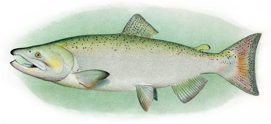
King Salmon
Oncorhynchus tshawytscha
Season: June – September (check regs)
Baits: Trolled anchovies, Spoons, Hoochies
Troll bait near bait schools and temperature breaks. Early season fishes deep; late season pushes near river mouths.
Redtail Surfperch
Amphistichus rhodoterus
Season: Year-round; spring is the peak
Baits: Sand shrimp, Clam necks, Gulp! sandworms
Fish the troughs just behind the breakers with a two-hook rig or a Carolina rig and a light weight. The incoming tide toward high is the classic window, when perch move up into the surf to feed. Look for darker water and rips that mark the deeper troughs.
Gear for These Conditions
TheAnglerStore →Matched to the species feeding at James Island right now.
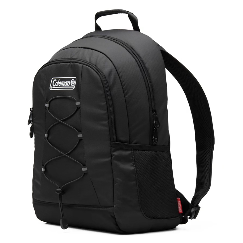
Coolers
Coleman CHILLER 28-Can Soft-Sided Backpack Cooler
Twenty-eight cans of capacity with TempLock insulation that holds ice past twelve hours, in a soft-sided pack you wear rather than carry.
$48.49Shop at TheAnglerStore →

Surf Rods
Daiwa FT Surf Spinning Rod — 9', 2-Piece Medium
The short one, for jetties, piers and beaches where you don't need to reach the horizon. Easier to control in a crowd and easier to fit in a car.
$34.99Shop at TheAnglerStore →
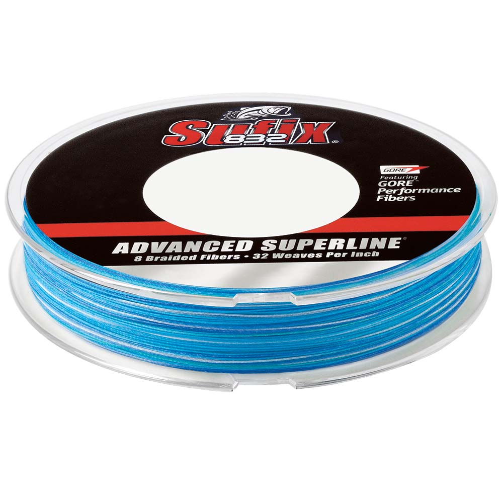
Line & Leader
Sufix 832 Advanced Superline Braid — 20 lb, 300 yd
Seven HMPE fibers plus one GORE Performance Fiber, braided at 32 picks per inch. The GORE fiber is what makes this line quiet through the guides and stubborn…
$34.99Shop at TheAnglerStore →

Terminal Tackle
Eagle Claw Lazer Sharp Offset Circle Sea Hook — 4/0, 50-Pack
The circle hook does the work for you: no strike, just let the rod load and the hook finds the corner of the jaw on its own.
$15.97Shop at TheAnglerStore →
James Island Tide & Fishing FAQ
›What time is high tide in La Push today?
High tide in La Push today is at 3:04 AM (6.7 ft) and again at 1:51 PM (8.0 ft), measured at NOAA station 9442388 (James Island).
›What time is low tide in La Push today?
Low tide in La Push today is at 8:09 AM (4.3 ft) and again at 9:00 PM (0.3 ft).
›When is the best time to fish in La Push today?
Today's best fishing window at La Push is 3:30 PM–5:30 PM (rated Excellent, 86/100), driven by strong outgoing tide, dusk bite window. The score blends tide movement, dawn/dusk light, moon phase, wind, and water temperature.
›What fish are biting in La Push in November?
In November, the most active species at La Push are Dungeness Crab, Rockfish, Lingcod. See the species section above for baits, techniques, and seasons.
›Is this the tide chart for La Push?
Yes — James Island (NOAA station 9442388) is the closest official tide prediction station to La Push, Washington, so these are the tide times anglers and boaters in La Push plan around.
›How accurate is this La Push tide chart?
Predictions come directly from NOAA CO-OPS harmonic predictions for station 9442388 (James Island) and are the same data used in official tide tables. Actual water levels can vary with storms and barometric pressure, so treat predictions as planning guidance, not navigation data.
About James Island
This is the live tide dashboard for James Island, built on NOAA station 9442388 (James Island) on the outer-coast. Tide predictions update continuously, and the fishing score blends the tide swing with weather, light, and moon phase to point you at the best windows of the day. James Island is the closest NOAA tide station to La Push, Washington — if you fish, paddle, or boat out of La Push, these are the tide predictions to plan around.